
Maps
Digital Maps | Sanborn Maps
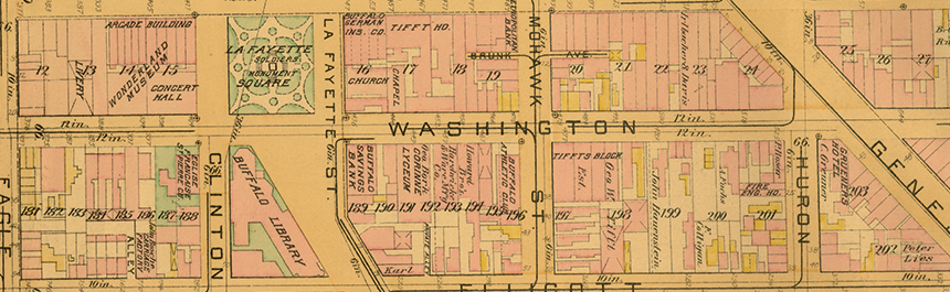
We have an estimated 70,000 maps that consist of local, regional, state, national, and international maps, including nautical and aeronautical charts. We own U.S. topographic maps for several states east of the Mississippi. Also available are Buffalo Ward maps for use in census research, and election maps showing current council districts, county legislative districts, senate, assembly, and congressional districts. Many of the maps are included in our Library Catalog, and are classified according to an in-house system. The majority of our holdings is housed in the closed stacks and may be viewed by placing a request in the Grosvenor Room
Maps in the collection include:
Aeronautical Charts
Army Maps
City Maps
Cruising Charts
Election Maps
FIRM (Fire Insurance Rate Maps)
Geologic Quadrangle Maps
Great Lakes Charts
Historical Maps
Land Use Maps
National Geographic Maps
Nautical Charts
Operational Navigation Charts
Picture Maps
Road Maps
Sanborn Maps
Topographic Maps
Transportation Maps
Ward Maps
Wetlands Maps
World Maps